
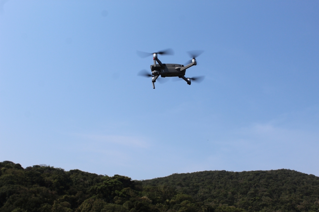
The aircraft allows for overflight of the Serra do Mar mountain range within its boundaries with the Observatory, reaching a distance of up to 1,500 meters and a height of 120 meters. Photograph: OO Archive
The distances traveled are based on the drone-point on the Observatory tower. Photo: OO Archive
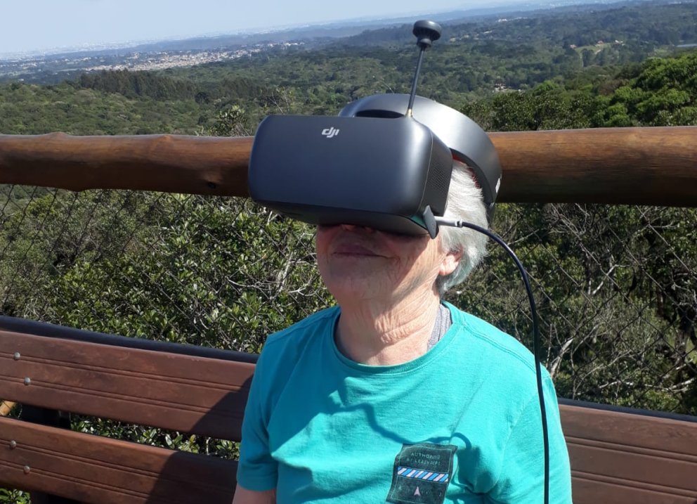
The goggles remain connected to the drone's remote control, allowing real-time viewing of images captured during flight. Photo: OO Archive
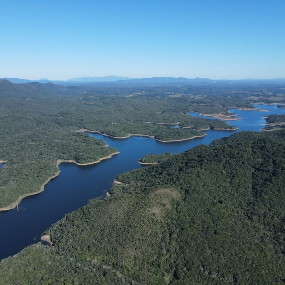
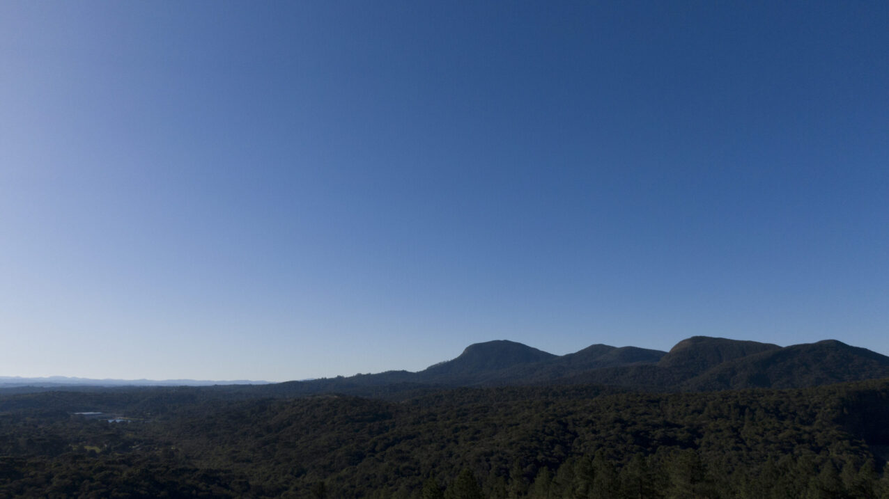
Piraquara I Dam and, in the background, Serra do Quiriri on the border between Paraná and Santa Catarina. Photography: Zig Koch
Serra do Mar and, in the background, Anhangava Hill. Photography: Zig Koch
First Paraná Plateau, highlighting the crest of Anhangava Hill. Photograph: OO Collection
Boundary between sub-formations of the Dense Ombrophilous Forest (Atlantic Forest) and Mixed Forest (Araucaria Forest). Photograph: OO Collection
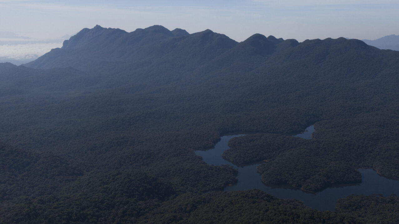
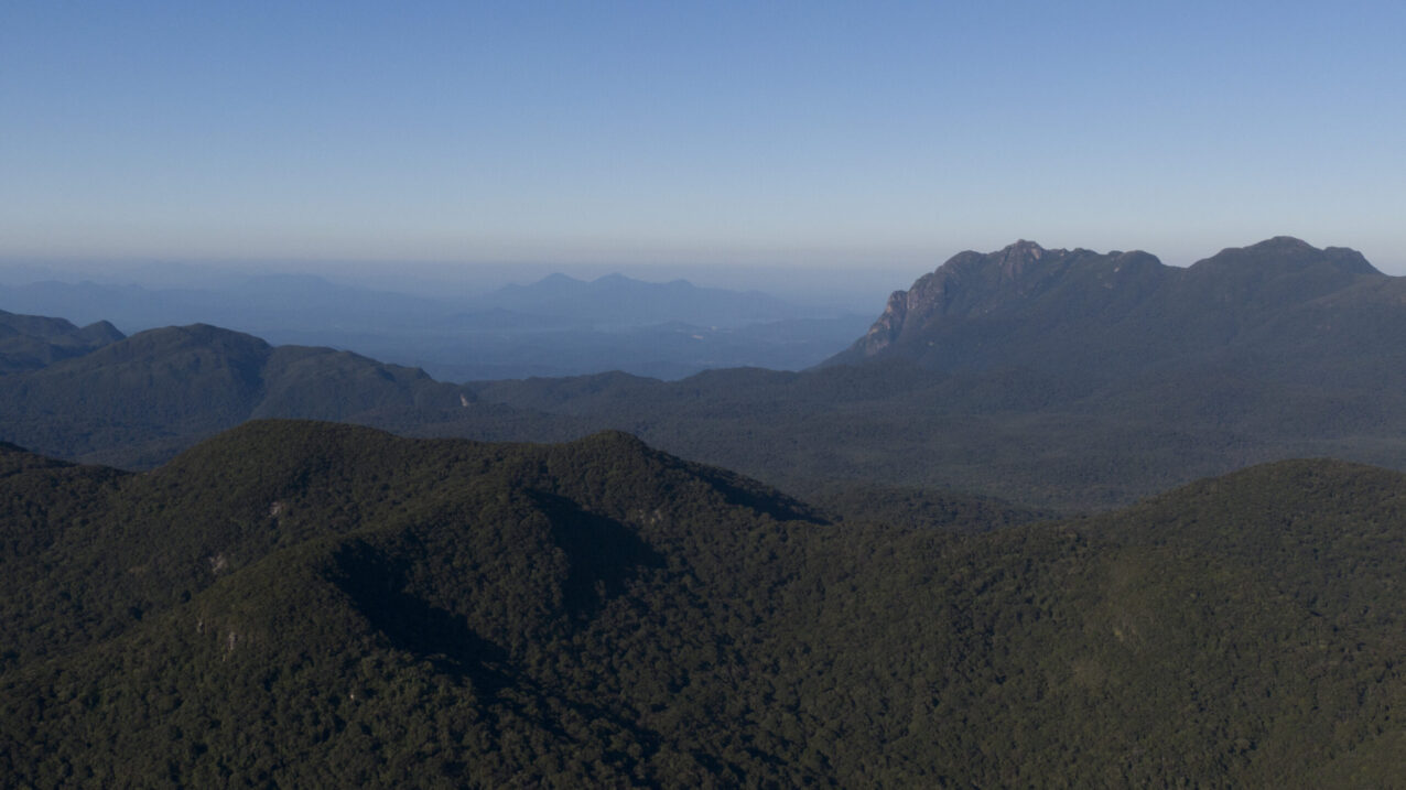
Marumbi Complex and part of the Piraquara I Dam. Photograph: OO Collection
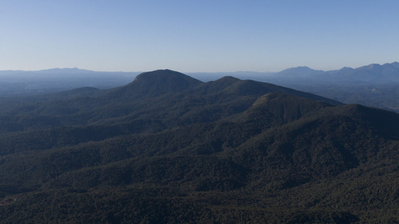
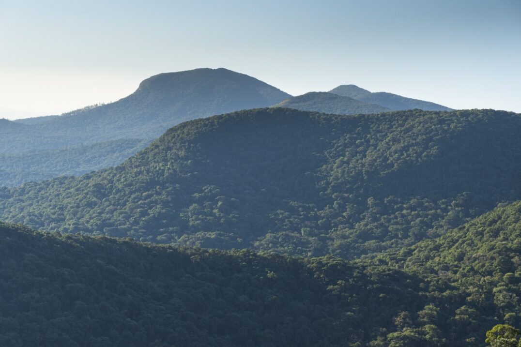
Serra do Mar, with Anhangava Hill standing out to the north. Photograph: OO Collection
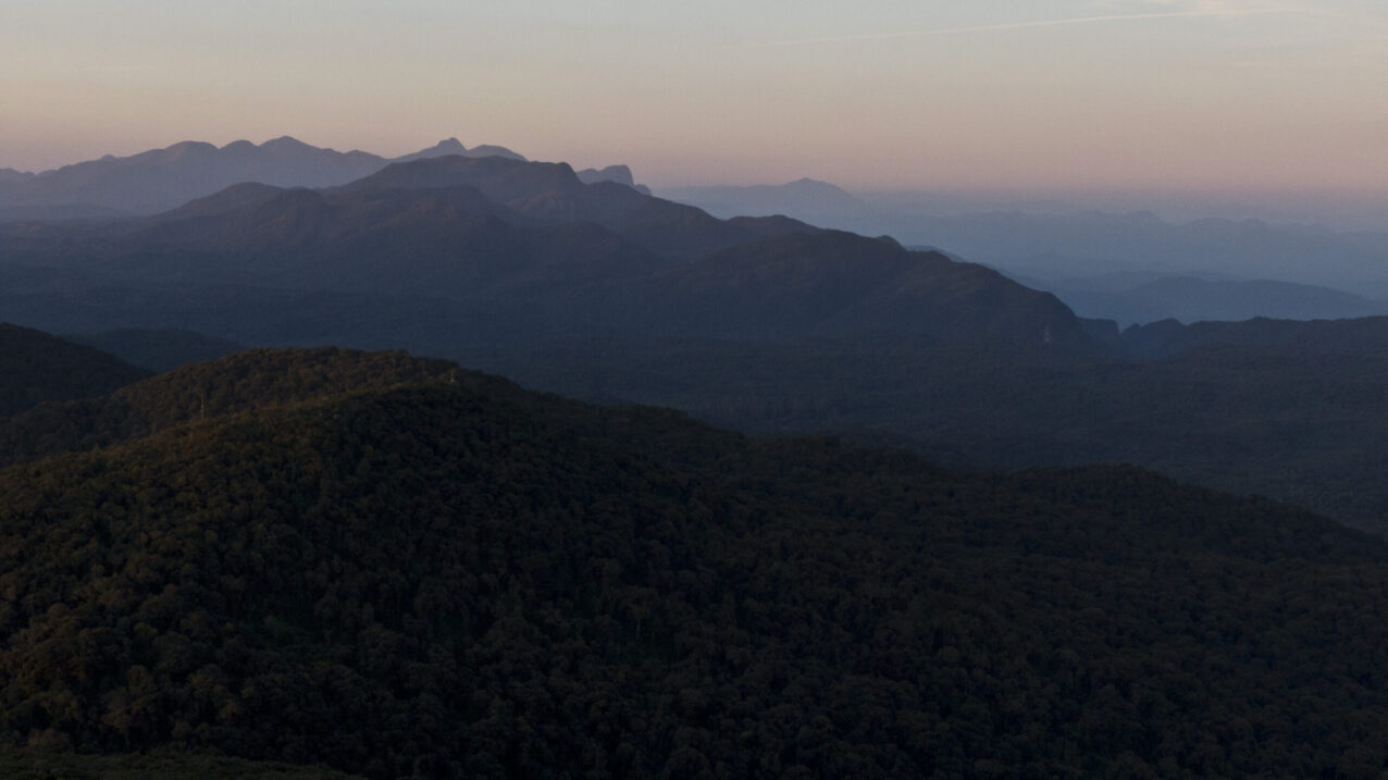
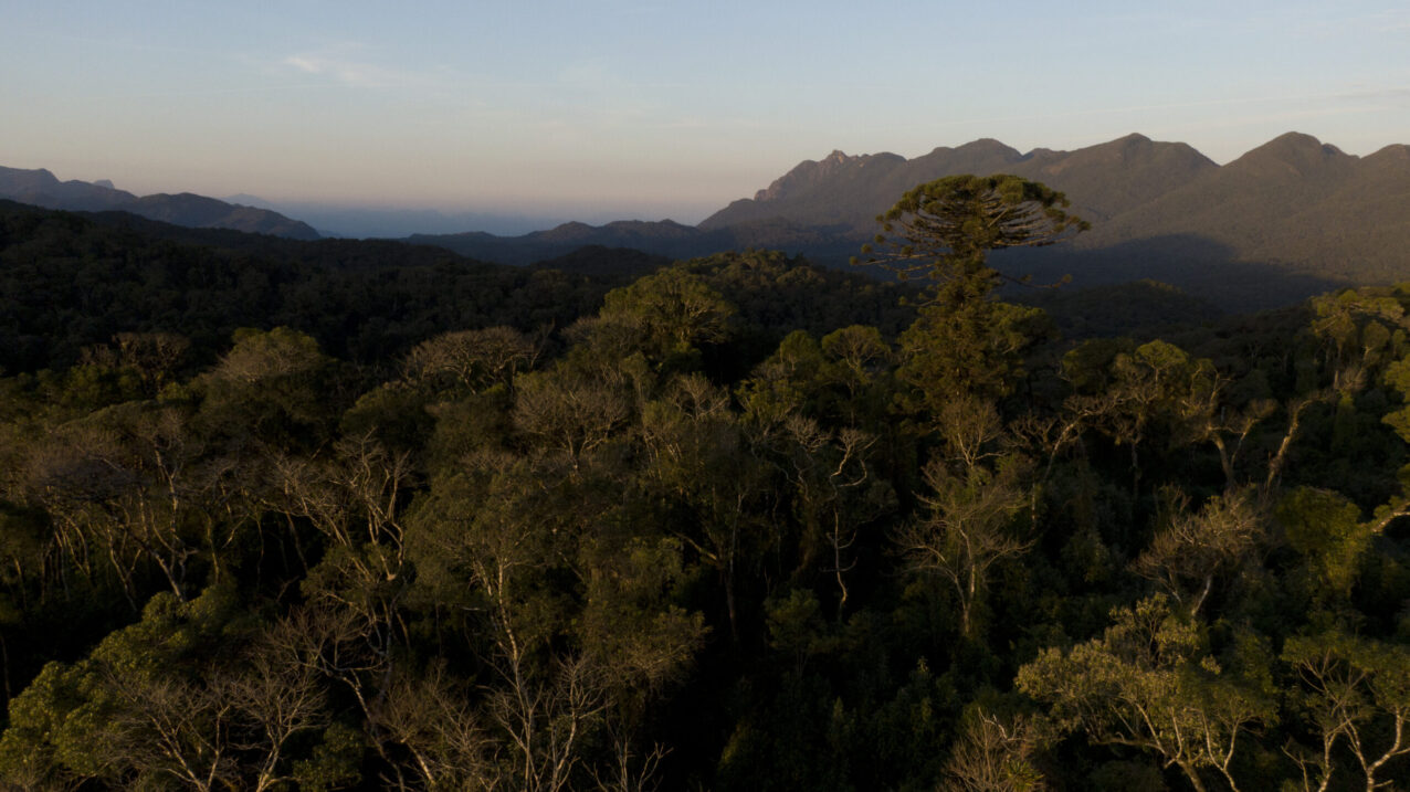
Serra do Mar and Pico Paraná — view to the northeast at dusk. Photograph: OO Archive
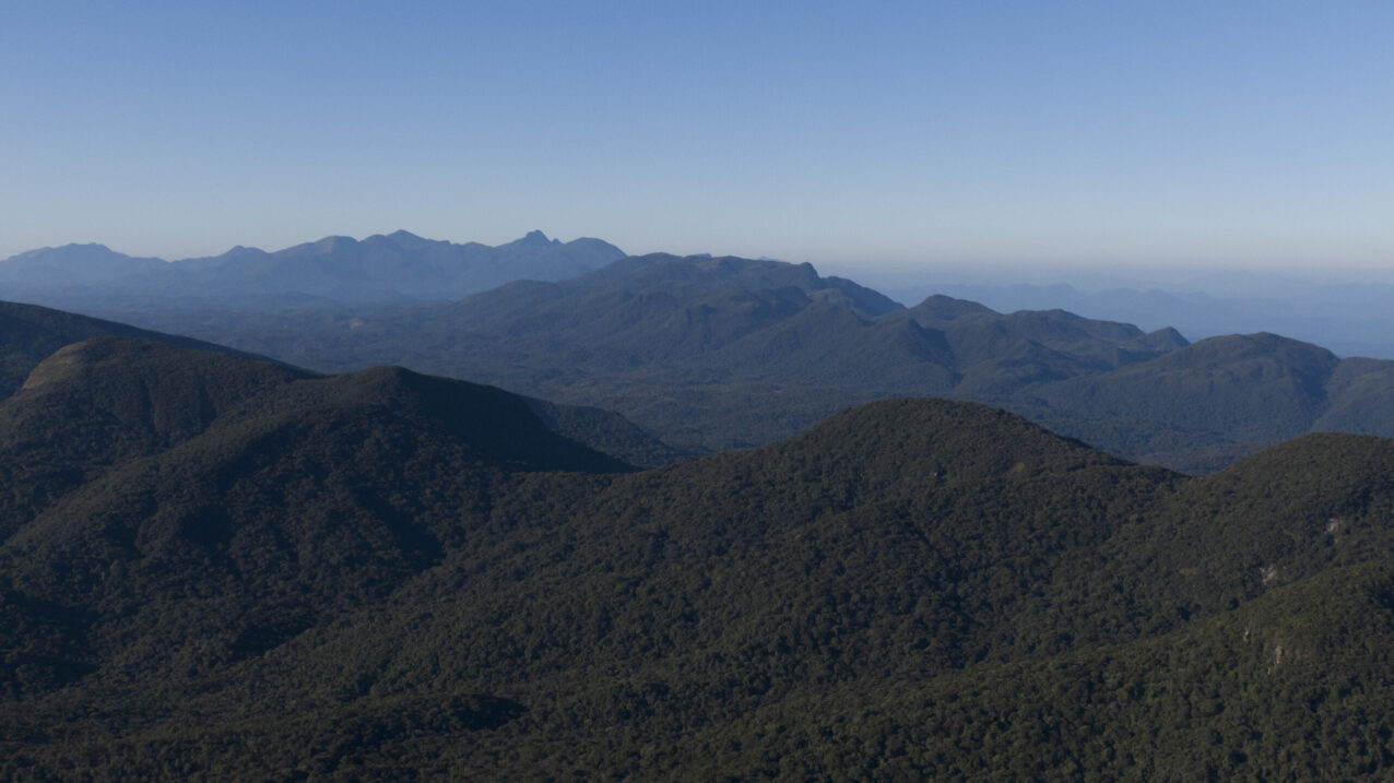
Serra do Mar and Pico Paraná — view to the northeast. Photograph: OO Collection
Serra do Mar, highlighting the boundary between the First Paraná Plateau and the Coastal Plain. Photograph: OO Collection